An initiative of South Ken Culture Quarter
An initiative of South Ken Culture Quarter
 South Ken Culture Quarter
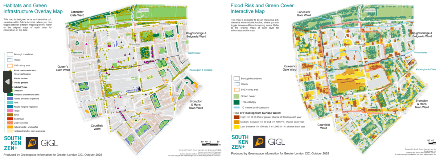
Drawing on data provided by Westminster City Council, Royal Borough of Kensington and Chelsea and SKCQ members themselves, GiGL produced a suite of 13 interactive maps covering habitats, green infrastructure, tree cover, species records and risks posed by climate change and flooding. The work brought together information that had previously been held across multiple datasets and surveys, creating a clearer picture of the area's natural assets and environmental challenges. To develop the baseline, GiGL reviewed existing records, gathered additional datasets from local authorities and cultural institutions, and standardised information from different sources, digitising non-GIS data where necessary. Ordnance Survey data was also used to improve habitat mapping accuracy.
The maps make it possible to view different layers together, helping to reveal patterns and opportunities that are harder to see in individual datasets. For example, one map highlights how well different tree species are expected to cope with London's projected climate in 2090, helping identify opportunities to improve the long-term resilience of South Kensington's urban forest. Another combines green cover and flood risk data, helping to identify locations where nature-based solutions could support climate adaptation.
The maps were developed as interactive resources, allowing users to switch between different layers and explore relationships between habitats, tree cover, biodiversity and environmental risks. They also bring together recent survey data collected by organisations across the South Ken ZEN+ network with historic datasets from Kensington and Chelsea and Westminster, helping to identify gaps where further recording or monitoring could be useful.
A Biodiversity Working Group helped review the maps, with further feedback gathered through a Biodiversity Baseline Workshop attended by local authorities, cultural institutions, universities and environmental organisations. Held on 19 November 2025, the workshop brought together 20 representatives from across the neighbourhood to check the accuracy of the maps, identify missing information and discuss priorities for future action. This input helped fill data gaps and refine the maps, including adding green infrastructure features and improving the interactive layers. Participants concluded that the maps provided a sufficient evidence base for initial planning.
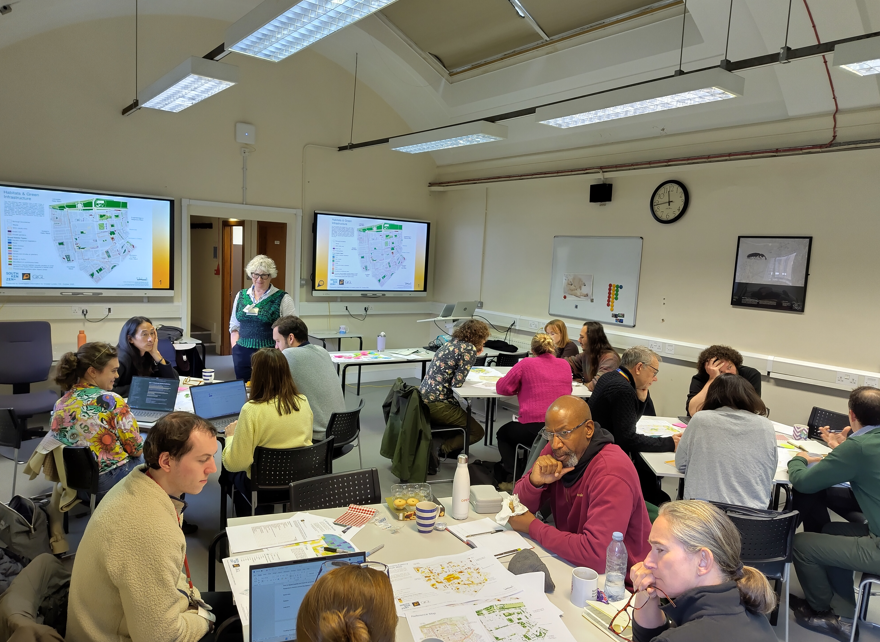
Biodiversity workshop held on 19 November 2025
The completed maps now provide shared evidence for South Ken ZEN+ and its partners. They are helping to identify opportunities for habitat enhancement, improved ecological connectivity, climate adaptation and future greening projects, while providing a starting point for monitoring change over time.